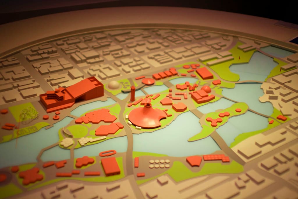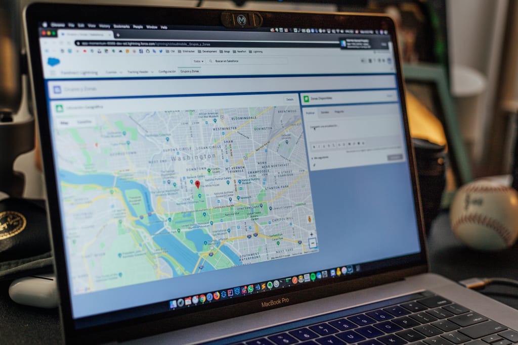
Being able to understand an area fully has always been essential for spatial planning. However, in recent years the use of geospatial data by GovTech platforms has changed the way both policymakers and the public can interact with spatial information.
Benefits of Geospatial Data in Spatial Planning

Geospatial data enables planners to make informed, evidence-based decisions by visualising complex information in a way that is easier to understand. Beyond the ability to physically see the space that planning decisions pertain to, there are several other benefits offered by the use of geospatial data solutions.
Putting Place at the Centre of Planning
Planning is inherently spatial. The location of something – whether it is a local amenity, service or infrastructure project – can often matter as much as what it is.
A new bus stop may revolutionise an area if it is in a busy commuter area, or it may be a waste of funding if it is somewhere there is no need for it. New street lighting may make local residents feel safer, but not if it is placed in an area that is already well lit with little crime.
Geospatial data and GovTech mapping tools are therefore key for taking a place based approach to the planning process. Geospatial data provides a clear, visual representation of how people interact with their environment, helping planners move from abstract policy to decision-making grounded in the reality of a given space.
This is particularly important as our population grows and urban areas become more dense and the issues affecting them more complicated. The ability to map complex information (such as economic, demographic and environmental data) spatially is vital.
For planners, these tools can have a powerful effect on their ability to visualise information and solve problems. It has also been transformational to the way residents are engaged in these processes.
Mutual Understanding and Public Engagement
One of the powerful citizen engagement innovations of the last decade has been community mapping. Community mapping – sometimes called participatory mapping – involves working with communities to explore and represent their area through mapping exercises as part of broader placemaking engagement. These activities are a unique way to share experiences, highlight local knowledge, raise awareness and communicate information in a way that is easy to understand and accessible.
Community mapping offers insight into how different groups use and relate to spaces. The same spaces can have vastly different relationships to people from different communities, age groups and lifestyles. This may only become clear to policymakers through activities like participatory mapping, as mapping offers insights that description or quantitative data does not.
Similarly, mapping exercises and the use of GIS data can be used to give information to members of the public in a way that is easier to understand. A proposed development, or a plan undergoing public consultation, may make more sense represented spatially.
Overall, geospatial data has a significant role to play in engaging communities and creating a mutually accessible exchange of information.
Data Analysis and Publishing Data
Geospatial data can offer useful insights to policy-makers, but it becomes particularly useful when combined with other types of data and analytical tools.
Data can be mapped in layers, offering different kinds of context depending on how it is being used and what patterns may have developed. These maps can then be made available to all those with a say or a stake in the planning process, including the public. Having accessible, easily digestible and interactive maps throughout different stages of planning is a powerful engagement tool for policymakers.
“The future of place-based democracy is one that incorporates useful and diverse geospatial data as part of a more open and transparent way of working.”
5 Sectors Using Geospatial Data To Increase Citizen Engagement in Spatial Planning

Geospatial mapping is changing how different sectors engage citizens in spatial planning. When used as part of a participatory mapping activity, it allows communities to share area knowledge and their own experience. From infrastructure to policing, geospatial data can lead to more considered planning decisions and have a positive effect on public trust.
Infrastructure
Major infrastructure projects are often one of the first things people imagine when they think of planning. This is because this is an area that often requires a great deal of long-term consideration. It is also because it is an area that is often associated with legally-mandated statutory consultations before implementation.
Infrastructure projects often rely heavily on having a deep understanding of an area; the land, the people, their current needs and needs that may arise in the future. Most of these considerations can be better understood when citizens can envision a space spatially.
Examples of large infrastructure projects that may benefit from geospatial visualisation include:
- Energy infrastructure, such as the location of solar or wind farms.
- Flood defences and extreme weather resilience projects, including sewers.
- Waste management and the location of recycling centres.
However, theoretically any infrastructure project existing in physical space may benefit from a more spatial understanding. This is particularly true now the time and costs associated with mapping data in this way have been significantly reduced by technology.
Transport
The way people move around a city is obviously a top priority for policy-makers, officials and residents themselves. Densely populated areas such as cities must be particularly careful that their transport networks are still meeting the needs of what is often a growing population. Less populous areas must also be planned for however, as even those living in relatively remote locations may need access to public transport infrastructure.
It is also one of the clearest examples of how spatial data can be used to mutual benefit. When planning new cycle routes, bus routes, or even major transport infrastructure, it is essential for policy-makers to know two simple things:
- Where people are;
- Where they would like to be.
Geospatial data can help planners visualise patterns in mobility. This could include where congestion happens and where it doesn’t. Problems that were not otherwise known to officials can be revealed, like an unsafe crossing or illegal parking.
It can also reveal unexplored solutions. For example, people who would cycle if there wasn’t a particular obstruction or who would get a bus if a particular route was introduced. This kind of information can present solutions that simplify transport planning decisions and even have a positive effect on the environment.
Policing
Engaging the public in policing can be a difficult task. Police may be viewed with hostility, fear or anger by some, particularly communities that have had negative interactions with police in the past. This perception can lead to difficulties in policing certain areas, and cause people not to reach out for help when they need it. Police community engagement has therefore been a priority in recent years.
Community mapping has become an essential citizen engagement tool for this purpose. This form of participatory mapping allows the public to use geospatial data to:
- Show areas where they feel generally unsafe.
- Point out roads where there are common issues with speeding or illegal parking.
- Outline areas that are unreasonably dark at night and therefore may benefit from more lighting.
- Say where they think illegal activity (such as drug dealing) may be occurring.
Involving citizens in policing in this way has the benefit of reducing the amount of resources required to police a given area, making it much more efficient and effective. It also has the effect of building trust with citizens, who feel they have a say in how their area is policed. This creates the feeling that their area is policed with the community, rather than it being something done to them.

Healthcare
Healthcare may not be the first thing people consider when they think of spatial planning, but there are several important factors to consider spatially within healthcare provision. GIS data can help policy-makers and planners to map healthcare locations like hospitals, service provisions like community nurses, and then address service gaps.
This is particularly useful in areas that are less urbanised, where people may have to travel long distances to access specific types of care. Within cities, it can be used to anticipate how population changes may affect service provision. It can show policy-makers where more investment and staffing are needed in order to meet public need.
As healthcare is so essential to get right the first time, considering healthcare spatially as part of the planning process is clearly beneficial to all. It can also form part of the push to increase patient engagement in their own care.
Urban Planning
Urban planning is probably the sector most embedded in spatial decision-making. Long before there were GovTech platforms to simplify the process, planners would spend long periods of time pouring over city maps. Urban planning encompasses all of the above sectors and attempts to balance them, creating cities where citizens can meet all of their needs without travelling long distances.
In recent years, the push to have cities where all essential amenities are available within a short distance – ideally without driving – have added another layer of consideration to urban planning. Within a short distance and by public transport, citizens should be able to access healthcare, food shops, schools and greenspaces. Achieving this in a city that may have vastly outgrown initial infrastructure can be particularly challenging. This often leads to calls for spatial planning reform, in order to more quickly meet the needs of a growing population.
This is where geospatial data is most useful. By visualising space, gathering feedback from multiple avenues, and contextualising maps alongside different data types, planners can gain a far more comprehensive view of a given space.
Citizen Space is the go-to platform for connecting governments, developers, and citizens. If you’d like to learn more about how our software supports spatial planning and GIS data use, book a free demo and we’ll walk you through it.
Sign up for the Delib newsletter here to get relevant updates posted to your email inbox.