Wherever you are in the world, all too often it can feel like urban areas have been designed with cars in mind instead of people. From the environmental impact and increased safety to simply making them nicer places to spend time in, the benefits of wresting our town and city centres back from the car are numerous – and “car free” cities may well be our future. Yet exactly how we go about realising this change in practice is slightly less straightforward.
Whether it’s relatively simple measures such as the widening of pavements or the more complex matter of completely redesigning a town centre, these projects by their very definition need to be people-centric. That makes engagement with the local community not just important to the success of any such redevelopment, but utterly essential.
Previously, getting insight from local communities on how they use – and how they want to use – their streets has been… well, a bit of a nightmare. Town hall meetings and reams of planning regulations have their place in the process, but haven’t always felt like accessible, efficient ways of getting a broad range of views from the entire community.
Thankfully, that’s changing. And below are three great examples of how.
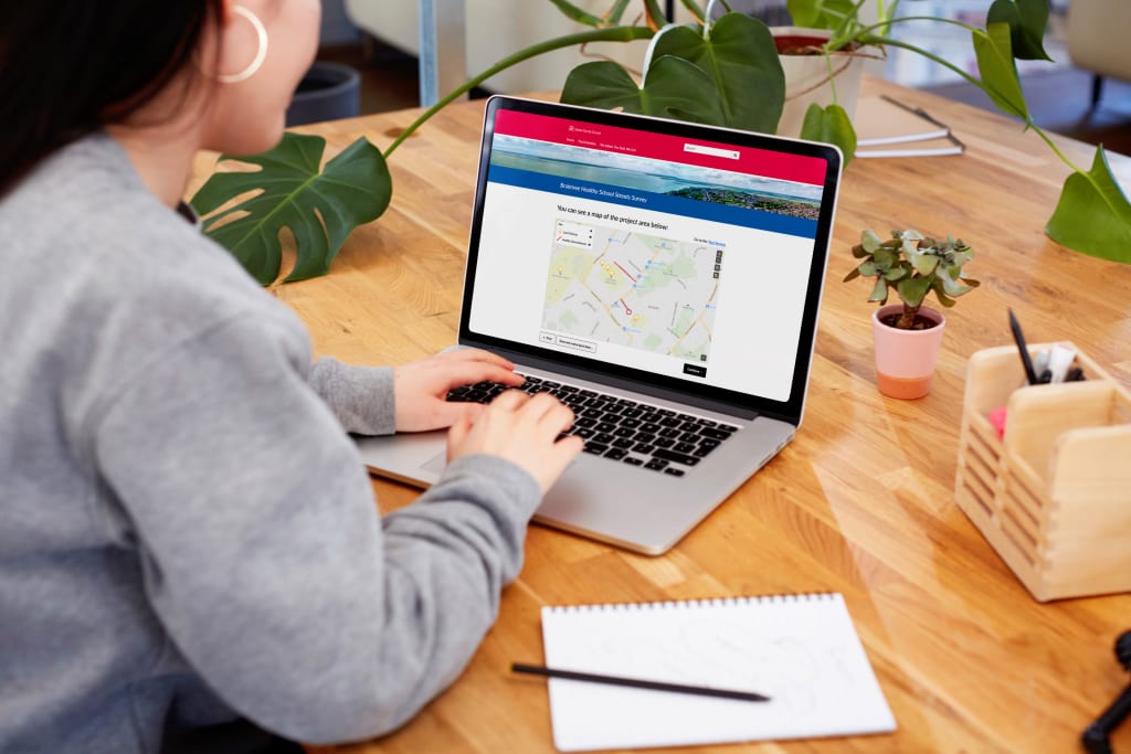
Braintree Healthy School Streets Survey

In order to transform some of the roads around local schools into safer, healthier environments for residents, Essex County Council has introduced a range of measures under its Braintree Healthy School Streets initiative. Pavement parking has been discouraged, lower speed limits have been launched and colourful artwork has been added to the asphalt outside certain schools as part of the project. The hope is that this encourages people to swap their cars for more environmentally-friendly modes of transport when it comes to the school run.
The council have set up a short survey to get feedback on the initiative and to ask for new suggestions on continuing to improve the built environment surrounding schools in the area.
WHY IT’S GOOD: The consultation makes some great use of visual elements, ranging from photos of some of the areas (and their colourful new art) to interactive maps using Citizen Space Geospatial. Not only do these components liven up the presentation of the survey, helping build better engagement, they also ensure higher quality data with respondents able to clearly visualise what’s being talked about.
Marple Neighbourhood Plan

The words “statutory”, “planning” and “consultation” all together in a row don’t always get everyone’s pulses racing, but Stockport Metropolitan Borough Council’s Marple Neighbourhood Plan is a good example of how to make a potentially dense planning initiative make sense to everyone. It covers a range of different initiatives, featuring everything from the preservation of local heritage sites to ensuring affordable housing, but keeps communications clear and the layout straightforward so as not to overwhelm respondents.
WHY IT’S GOOD: The survey breaks down some pretty major changes into easily digestible chapters, for example on plans to enhance the appearance of the town centre and on how the council intends to include sports facilities and community centres to help local people stay active. Rather than throwing everything at respondents in one go, this approach makes the consultation feel a lot more manageable and easier to navigate.
Portobello – Living Well Locally

The City of Edinburgh Council is looking for views on how its public facilities are being used and what new ones people in the area might like to add. It’s part of their “20-minute neighbourhood strategy”, which aims to ensure everyone can “access services and meet most of their daily needs within a short walk, wheel or cycle from their home.” In keeping with this theme, their survey is clear, accessible, and can be completed in well under 20 minutes.
WHY IT’S GOOD: The consultation takes advantage of Citizen Space Geospatial to embed easy-to-use maps throughout, enabling participants to simply drop pins in locations that they want to spotlight.
As these consultations clearly demonstrate, planning proposals don’t have to induce panic – canvassing for views from the people they’ll end up impacting the most can be done in an easy, open and accessible way. And hopefully that means better quality of life for all of us.
To find out more about how Citizen Space can help your organisation, book a demo and we’ll walk you through it.
Add interactive mapping and geospatial capability to your place-based engagement with Citizen Space Geospatial.